
16 April 2016 Telaga, Langkawi
We had yet another lazy day.
My mission today was to investigate the Anambas Islands, which are a group of dozens of small islands about 150 miles east of Singapore. It seems logical to go and explore these rarely visited islands and then sail a hundred miles back east to Tioman on the Malaysian peninsula.
Unfortunately, the Anambas belong to Indonesia and there is no Port of Clearance in the islands. The only way to legally get there is to sail from Singapore to Nongsa Point Marina, clear into Indonesia, sail 150 miles to the Anambas Islands and then sail 150 miles back (upwind) to Nongsa Point Marina to clear out of Indonesia. It’s not a surprise that not many cruisers want do this.
To add to the complications, there have been a number piracy attacks on commercial shipping in the area surrounding the Anambas Islands. However, the attacks seem to be limited to big ships, not small yachts, and there’s just as many attacks in the Mallaca Straits and Singapore Straits, where we’re already sailing. So, because of the slight risk of a piracy attack and some old reports of hassle from local officials, cruisers have been avoiding the area for years.
The other problem is that it’s very difficult to find any information about the place on the internet. It seems that some live-aboard dive boats go there and there have been a couple of 7-day trips by boats from Singapore, but nobody seems to go there to cruise the area. The islands are alleged to have fabulous diving and are sparsely populated, so it sounds lovely.
I spent hours trying to research the place and even drove around Telaga harbour asking other cruisers if they know anything about it, but nobody ever goes there - it’s bizarre.
17 April 2016 Telaga, Langkawi
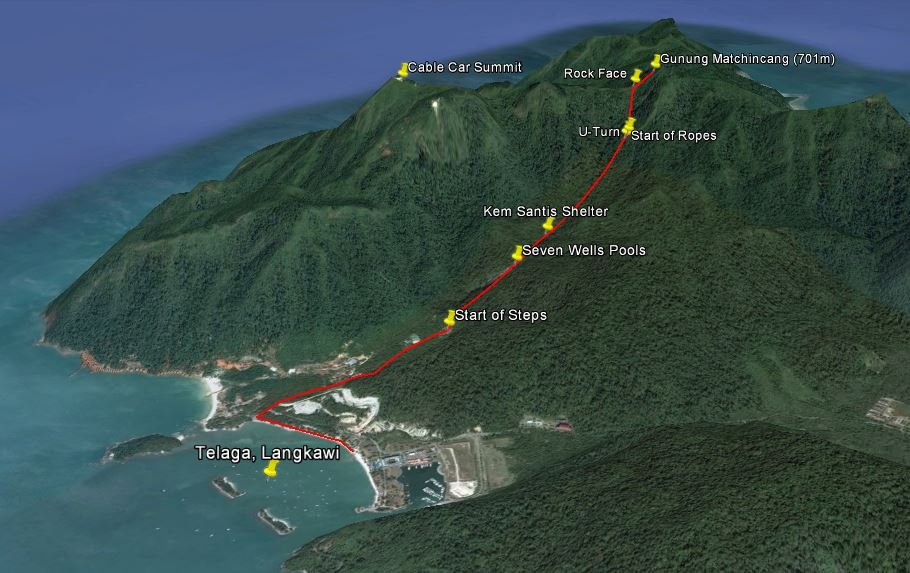
We managed to prise ourselves off the boat and went for a hike. We were on the beach at eight o’clock and set off with the aim of walking up to the highest peak in the area, which has a cable car going up to it. We’d read that there’s a trail which starts at the Seven Wells Waterfalls.
It took us 45 minutes to walk along the road and up the 638 steps to the waterfall area. Last November, there were large pools of water flowing over the smooth rocks, forming natural water slides, but now at the end of the dry season, the pools were stagnant and shallow.
The hike starts at the back of the waterfall area and after crossing the stream, we found ourselves on a good path in dense tropical forest. An hour later, after crossing a couple of concrete bridges and walking past a few small shelters, we came to a steep section where the park rangers have fixed ropes. The going was tough after this, scrambling up a 30-45 degree slope, but the ropes were strong and very helpful.
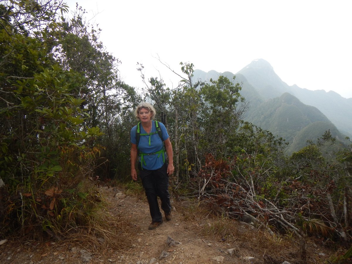
Ten minutes later, we came across a sign with a big U-Turn arrow, which was obviously telling us to go back down. However, there was a good path continuing off to the left, with fixed ropes, so we followed that. Two hours after leaving the waterfall pools, the trail led us past a large cliff, where we met a group of guys coming down. They were on a weekend trip from Georgetown and had set off at seven o’clock. They told us that we were 20 minutes from the top, so we’d made fairly good time.
We continued up to the peak - it took us 2½ hours from the waterfall area to 701 metres. To our surprise, we weren’t at the top of the cable car, but on another peak, called Gunung Machincang, a mile further inland. I was a little gutted because I’d been looking forward to an ice cream. We had a few minutes rest and a sandwich and then started down because a huge thunderstorm was approaching.
The scramble back down was much easier than going up, mostly because we could use the ropes and it took us a total of two hours to get back down to the bottom of the Seven Wells steps, where there are some cafes. We chugged down a coke and had a bite to eat, before wearily walking for 30 minutes back to the dinghy - a very good six hour hike.
Glenys really struggled on the up-hill sections, feeling exhausted and even dizzy at times. At several points in the hike we had to stop and rest, which is very unusual for us. It was very, very hot even under the forest canopy, so we think that it’s a combination of dehydration, heat-exhaustion and being a bit unfit.
18 April 2016 Telaga to Singa Besar, Langkawi
It was time to move on, so we motored into the marina; filled up with fuel and managed to escape Telaga. We motored into deeper, cleaner water and hove-to for an hour to make some water.
It was only a short five mile trip into the anchorage at Singa Besar, where we anchored at 06°13.59N 099°44.80E in 5 metres of water. It’s a nice peaceful anchorage, and there’s a small bar on the sandy beach, but after our exertions yesterday, we couldn’t move our legs. We had an early night.
19 April 2016 Singa Besar to Pulau Timun, Langkawi
After breakfast, we motored into Kuah to run a few errands - buying some two stroke oil and a few vegetables. The main town is very strange with dozens of “duty free” shops selling handbags, chocolate and, bizzarely, huge ranges of non-stick pans. There are no grocery shops and only one hardware shop.
I eventually found some two stroke oil at a small car parts shop on the back road. They in turn, pointed us to a couple of small grocery shops also along the back road. Amazingly, we stumbled across a very good (for Kuah) shop with an excellent chilled vegetable section. It looks like a warehouse and I suspect that they are a wholesale operation, but they were very willing to sell us a few vegetables.
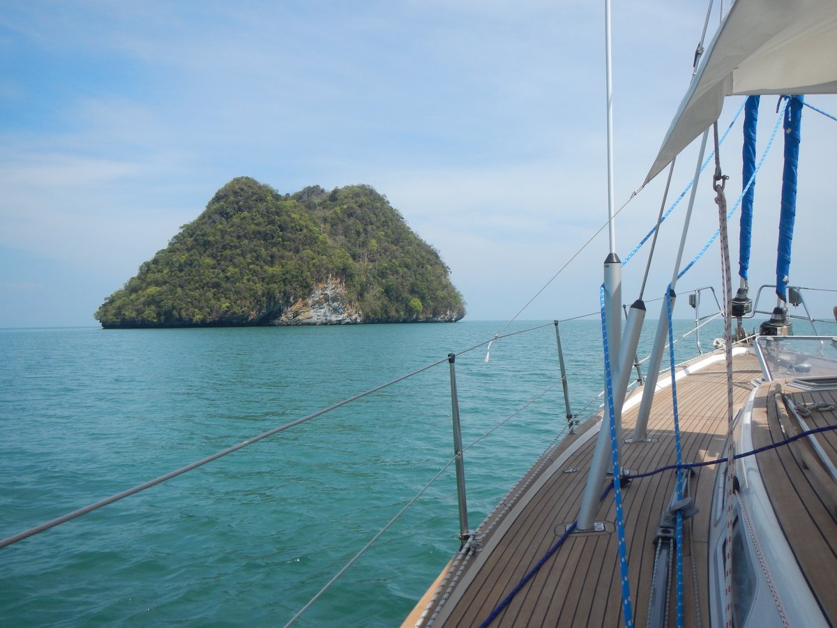
After a quick, cheap lunch at the Water Garden, we were back at the boat by half past one. Instead of spending the afternoon lying around in the oppressive heat, we upped anchor and motored around the corner to Pulau Timun to anchor at 06°18.68N 099°55.70E. This is a lovely anchorage - very isolated with a high rocky island, which gives some protection form the south east, although I wouldn’t want to be in here with any swell coming in.
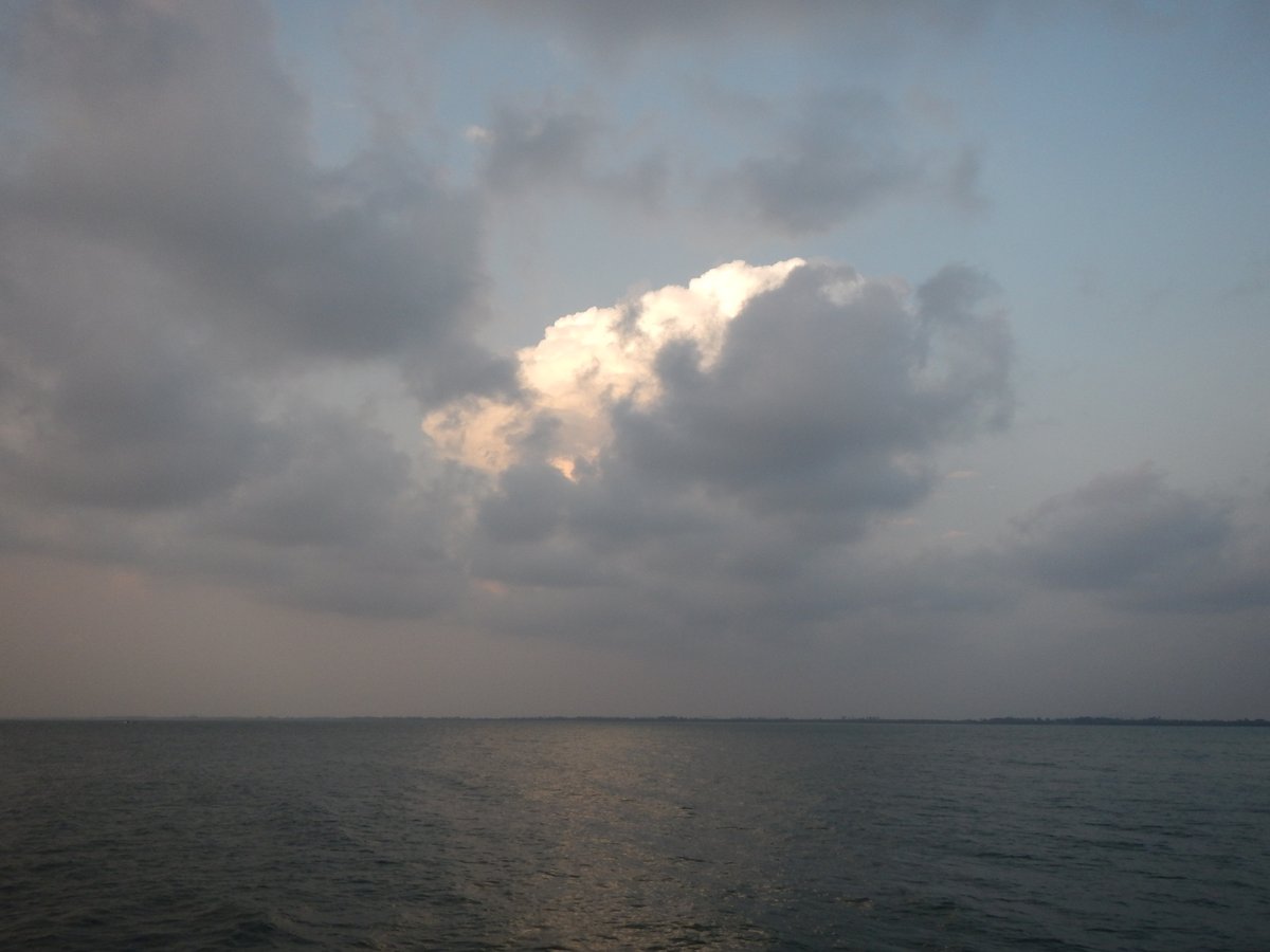
In the evening, we had our first major thunderstorm for ages. The weather in this region is dominated by the two monsoons. The NE monsoon is roughly from December to April and the SW monsoon is from June to October. We’re now in a transition period and, regrettably, I expect to have a thunderstorm every night.
The storm was a cracker. We had huge flashes of lightning and torrential rain as the large storm slowly passed over us for 30 minutes. As usual, we disconnected my laptop and shoved various electronic devices into the oven just in case we were struck by lightning.
With all the torrential rain, we had water leaks in the saloon, with water dripping from the head-linings. I pulled down one of the head-linings to check if the water was coming through the newly fitted deck fittings - thankfully, it wasn’t. Further investigation revealed that three of our twelve portholes are leaking quite badly. I’ve got some new seals somewhere, which I’ve been carrying around for a couple of years - I really must fit them.
20 April 2016 Pulau Timun to Pulau Bunting, Malaysia
We upped anchor at around nine o’clock and, for a change, we had some wind and a pleasant sail for a few hours. As we approached Pulau Payar, the wind died on us and we motored around the corner to the north-east side of the island where last year there were three big moorings available. This time there were no moorings vacant - the outer one was missing and the other two were occupied by huge tourist boats.
Pulau Payar is a national park with good scuba diving, but there is no anchoring allowed, so we couldn’t stay. I was gutted. We were hoping to stay for a few days and do some diving - we now won’t be able to dive until July.
Our only option was to carry on to a small island called Pulau Bunting, which is a few miles off the mainland of Malaysia. It took us four hours to get there. We arrived to find that there was a there was a nasty chop and a 15 knot onshore wind from the south-west, so we anchored on the north side at 05°52.93N 100°19.98E. It was a bit bouncy, but okay.
We anchored 100 metres away from a fishing buoy with a black flag, but after we’d settled down, I noticed that there was another buoy with a black flag about 400 metres behind us - was there a net between the two buoys? Sure enough, just before sunset, as the tide dropped, a net had popped to the surface next to us, so we moved 50 metres further away from it - the last thing that I want is an angry fisherman waking me up at midnight.
We watched a movie and went to bed at 22:30. The rain started at eleven o’clock, the lightning started ten minutes later. The wind picked up to about thirty knots and bounced us around all over the place. It was very unpleasant. I’m not sure when it all stopped, but I’m guessing that it went on for an hour.